
 ©
IfE / I. Koch
Accurate sensor technology on geodetic satellites play a fundamental role for geodesy. The detailed physical understanding of high-resolution sensor time series not only provides the backbone for mm-precise global reference frames, but is also essential for the quality with which we record processes of the Earth system like the massive loss of the polar ice shields from space. Entirely new possibilities open up for satellite- and surface-based measuring techniques by using quantum sensors and ultra-precise measurements of time and frequency in relativistic geodesy.
Topics
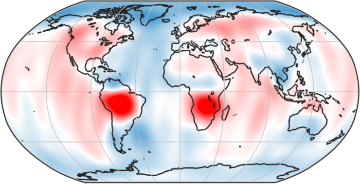
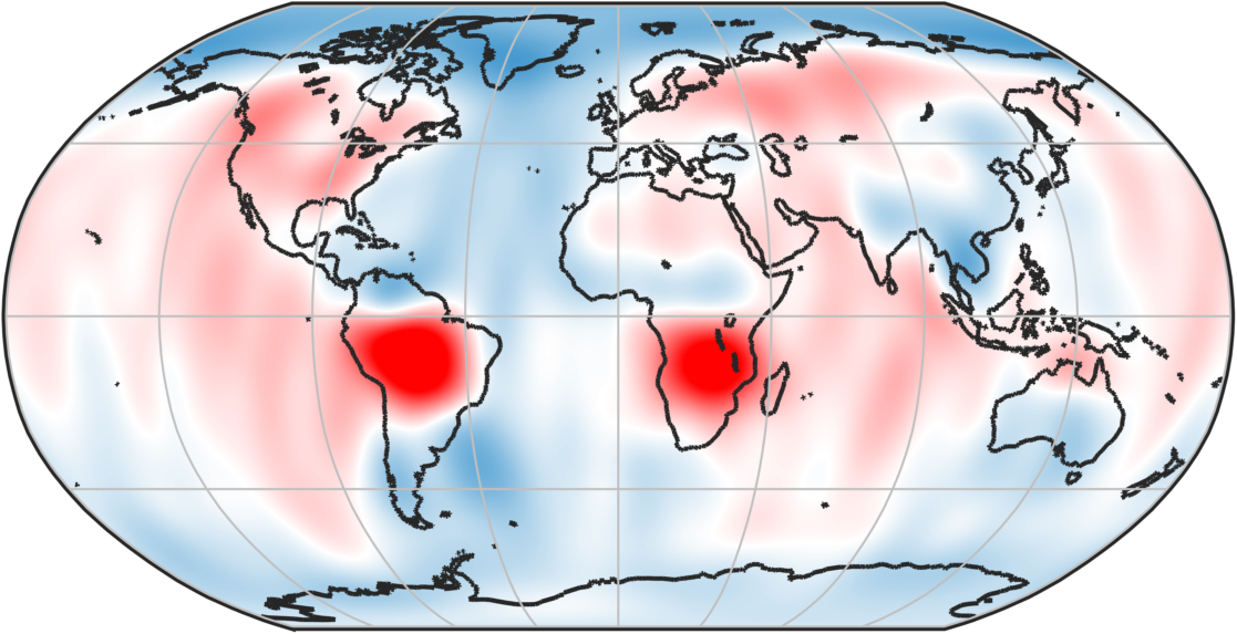
The working group is specializing in the distance measurement to and between low-flying satellites, space-based high-precision accelerometry, the determination of satellite orientation and the interdependencies between environmental conditions and sensors. The group computes median and time-variable global models of the Earth’s gravity field from satellite data and develops concepts for the application of relativistic geodesy to the gravity field determination.
Events and Working Groups


30167 Hannover


